Briande
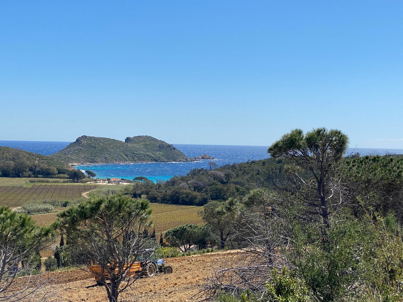
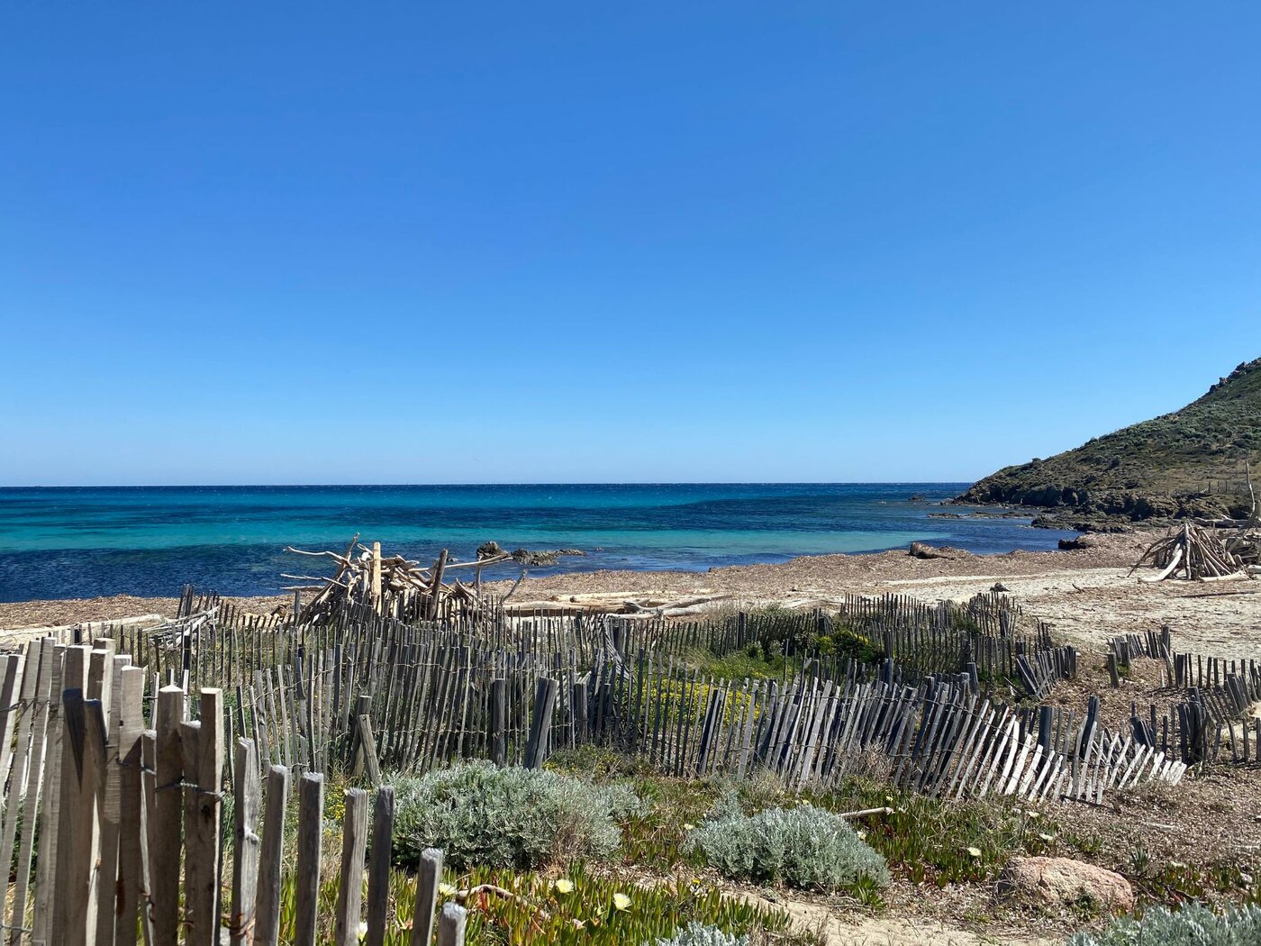
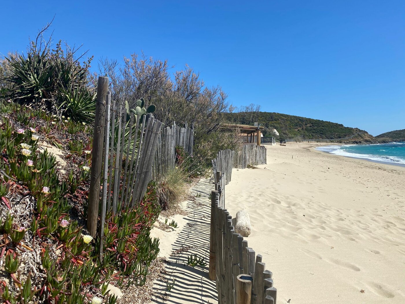
Hike through the heart of the Domaine du Cap Lardier and discover a magnificent area carefully protected by the Port Cros National Park. No need to go to the other side of the world!
-
- Distance
- 10 km in a loop
-
- Gradient
- 585 m
-
- Difficulty
- Walkers/hikers - Orange level - quite hard
-
- Type of terrain
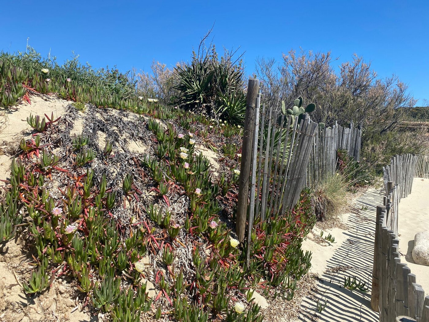
- Ground - Not suitable for strollers - Rock - Sand
-
- Markings
- The trail is marked
Opening |
All year round daily. Subject to favorable weather. |
|---|---|
Rates |
Free access. Parking outside the blue zone, paying from June to September. |
 Animals allowed
 Parking
 Shuttle bus stop
Prestations
- Environnement
- Beach within 300 m
- Close to a public transportation
- Coastal
- In a nature reserve
- Near shuttle stop
- Panoramic view
- Sea view
- View over the vineyards
- Facilities
- Charging stations for electric vehicles
- Parking nearby
- Public WC
- Services
- Pets welcome
Departing from
%% prestaItem.title %%
%% prestaItem.ouvertureDisplayN %%
%% prestaItem.commune %% (%% prestaItem.adresse.departement %%, %% prestaItem.adresse.pays %%)
%% prestaItem.title %%
%% prestaItem.ouvertureDisplayN %%
%% prestaItem.commune %% (%% prestaItem.adresse.departement %%, %% prestaItem.adresse.pays %%)
Route
%% prestaItem.title %%
%% prestaItem.ouvertureDisplayN %%
%% prestaItem.commune %% (%% prestaItem.adresse.departement %%, %% prestaItem.adresse.pays %%)
%% prestaItem.title %%
%% prestaItem.ouvertureDisplayN %%
%% prestaItem.commune %% (%% prestaItem.adresse.departement %%, %% prestaItem.adresse.pays %%)
Upon arrival
%% prestaItem.title %%
%% prestaItem.ouvertureDisplayN %%
%% prestaItem.commune %% (%% prestaItem.adresse.departement %%, %% prestaItem.adresse.pays %%)
%% prestaItem.title %%
%% prestaItem.ouvertureDisplayN %%
%% prestaItem.commune %% (%% prestaItem.adresse.departement %%, %% prestaItem.adresse.pays %%)
Itinéraire
At the intersection, take the path climbing on your left (do not turn right), keep walking until the bend and turn right to take the path running down through the vegetation all the way to a crossing facing the vineyards and 2 wooden steps. Follow the markings and turn right. At the next intersection, turn left and follow the markings indicating "Plage de Gigaro", follow the trail straight ahead of you. At the green front gate, follow the markings on your right and take the trail running through the undergrowth to head back towards the inland track “Route Forestière de Gigaro”. Turn right and follow the route and indications “Plage de Gigaro” to head back at the departure point.
Photos