Hiking itinerary
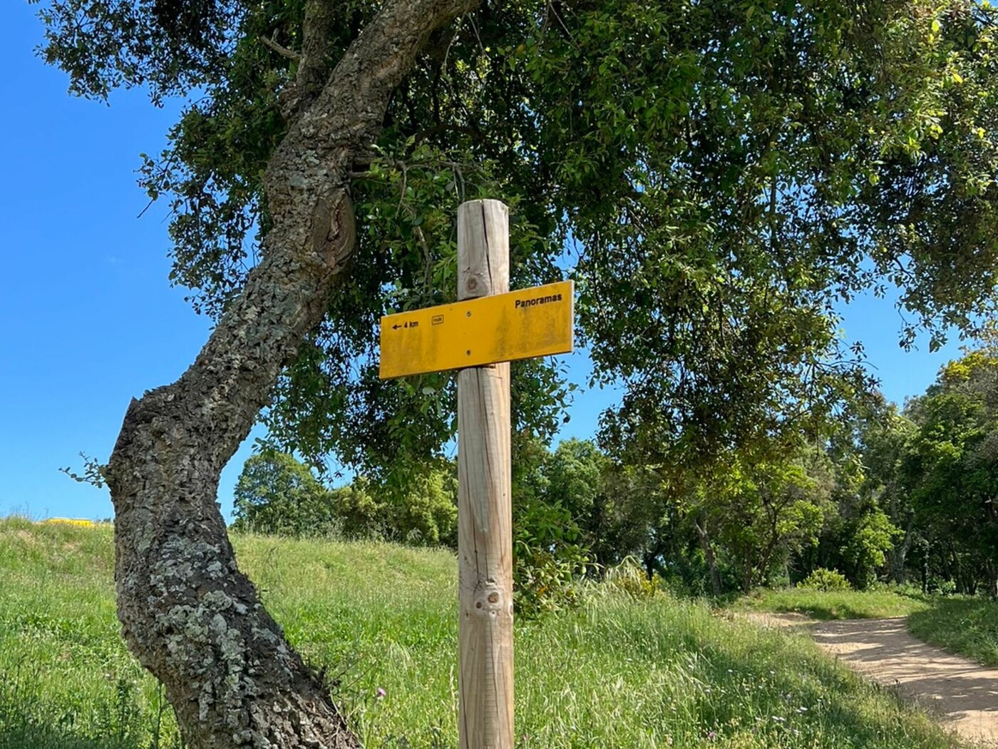
Panoramas
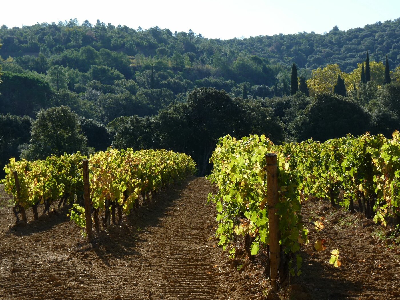
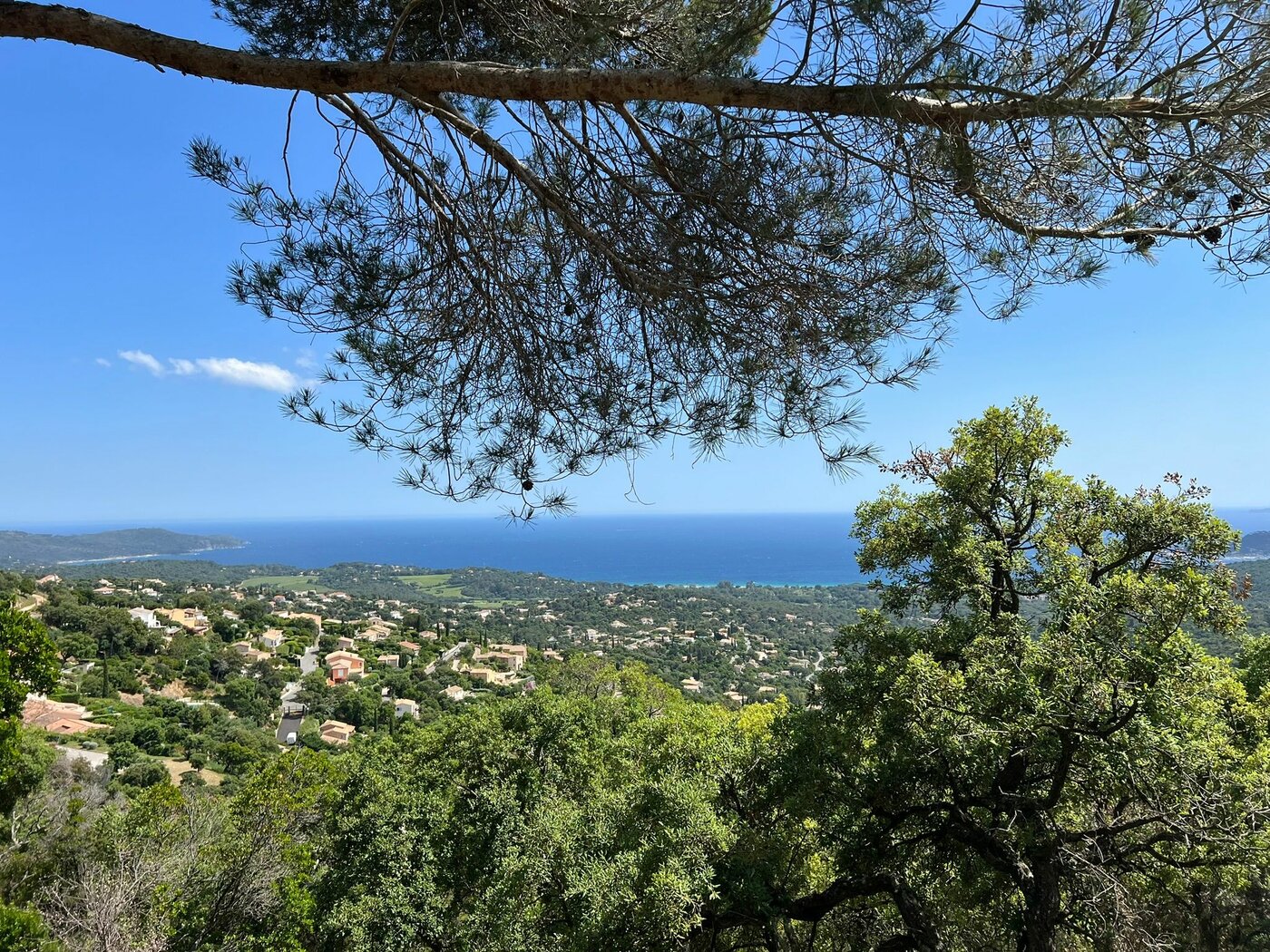
A hike starting at the village, allowing you to discover the Croisien vineyards and forest. It connects to the GR 51 trail which offers magnificent views of the Gulf of Saint Tropez.
-
- Distance
- 8.5 km in a loop
-
- Duration
- 135 min
-
- Gradient
- 289 m
-
- Difficulty
- Walkers/hikers - Orange level - quite hard
-
- Nature du terrain
- Ground - Hard coating (tar, cement, flooring) - Not suitable for strollers
-
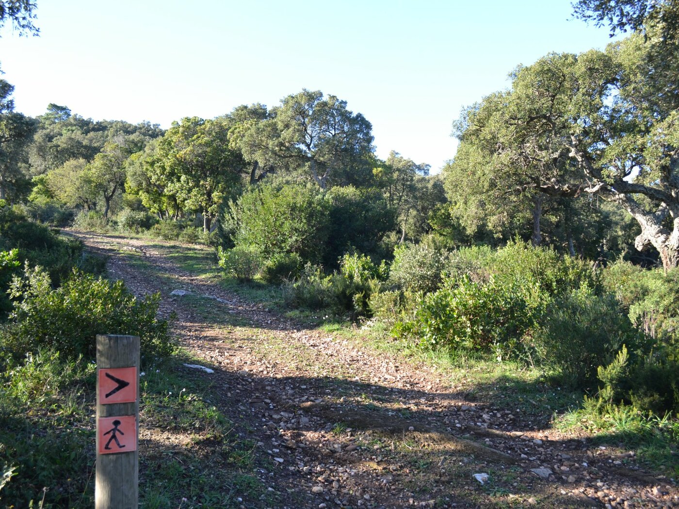
- Balisage
- The trail is marked with yellow signs
Opening |
All year round. Subject to favorable weather. |
Rates |
Free access. Car parks outside the blue zone, chargeable from June to September, outside the village. |
 Animals allowed
 Parking
 Shuttle bus stop
Show all facilities
Itinéraire
Walk up "Rue Louis Martin". At the top of the street, turn left Rue Frédéric Mistral, towards “CCE Air France”. 50 metres after having walked past the winery, turn left on the path. At the gate, enter the vineyard, turn right and follow the fence up to the bank (respect the vineyard and walk close to the fence). Follow the uphill path on your right (steep slope).
At the top, walk straight forward and follow the track in front of you. At the intersection with the GR51, when facing the green tank, turn left. Once past the reservoir, turn left. Walk 50 metres and at the intersection, turn left again. After a long and steep descent, take the path on your right, heading back to the winery. Walk back to the village.
At the top, walk straight forward and follow the track in front of you. At the intersection with the GR51, when facing the green tank, turn left. Once past the reservoir, turn left. Walk 50 metres and at the intersection, turn left again. After a long and steep descent, take the path on your right, heading back to the winery. Walk back to the village.
Photos