Fußwanderungsstrecke

Die 2 Caps

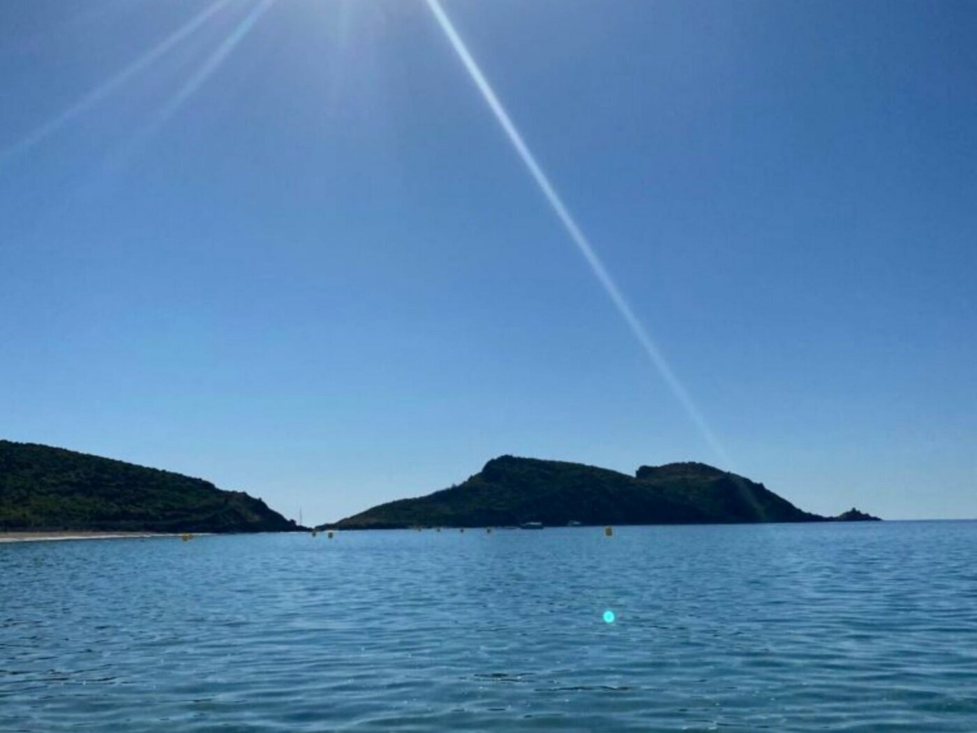
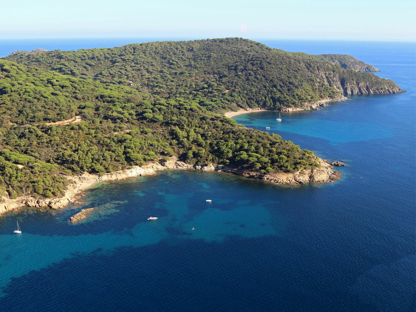
Eine sehr schöne Wanderung, die sich die Zeit nimmt, Waldwege und Küstenwege zu erkunden, um die 2 majestätischen Lardier & Taillat-Kapuzen, Schönheitsschöne und wunderbare Landschaften nicht zu verpassen.

  • Entfernung
    15 km als Rundweg
  • Höhenunterschiede
    700 m
  • Schwierigkeitsgrad
    Wanderer - Rot - Nur für Experten/Fortgeschrittene
  • Art des Geländes
    Boden - Nicht für Kinderwagen geeignet - Rock - Sable
  • Markierung
    Der Pfad ist markiert
Complément d'information

Wanderschuhe werden empfohlen. Wasser und einen Hut mitbringen.

Öffnung
Ganzjährig.
Nur bei günstigen Wetterbedingungen.
Preise
Freier Zugang. Parken auf Parkplätzen außerhalb der blauen Zone, kostenpflichtig von Juni bis September.
Tiere erlaubt
Parkplatz
Pendelbusstop

Abfahrt von

%% prestaItem.title %%

%% prestaItem.ouvertureDisplayN %%

%% $options.filters.formatTimestamp(prestaItem.dateDebut, 'Do') %% %% $options.filters.formatTimestamp(prestaItem.dateDebut, 'MMM') %% %% $options.filters.formatTimestamp(prestaItem.dateDebut, 'YY') %%
%% $options.filters.formatTimestamp(prestaItem.dateFin, 'Do') %% %% $options.filters.formatTimestamp(prestaItem.dateFin, 'MMM') %% %% $options.filters.formatTimestamp(prestaItem.dateFin, 'YY') %%
%% $options.filters.formatTimestamp(prestaItem.dateDebut, 'Do') %% %% $options.filters.formatTimestamp(prestaItem.dateDebut, 'MMM') %% %% $options.filters.formatTimestamp(prestaItem.dateDebut, 'YY') %%

%% prestaItem.commune %% (%% prestaItem.adresse.departement %%, %% prestaItem.adresse.pays %%)

%% prestaItem.descriptionCourte %%

Strecke

%% prestaItem.title %%

%% prestaItem.ouvertureDisplayN %%

%% $options.filters.formatTimestamp(prestaItem.dateDebut, 'Do') %% %% $options.filters.formatTimestamp(prestaItem.dateDebut, 'MMM') %% %% $options.filters.formatTimestamp(prestaItem.dateDebut, 'YY') %%
%% $options.filters.formatTimestamp(prestaItem.dateFin, 'Do') %% %% $options.filters.formatTimestamp(prestaItem.dateFin, 'MMM') %% %% $options.filters.formatTimestamp(prestaItem.dateFin, 'YY') %%
%% $options.filters.formatTimestamp(prestaItem.dateDebut, 'Do') %% %% $options.filters.formatTimestamp(prestaItem.dateDebut, 'MMM') %% %% $options.filters.formatTimestamp(prestaItem.dateDebut, 'YY') %%

%% prestaItem.commune %% (%% prestaItem.adresse.departement %%, %% prestaItem.adresse.pays %%)

%% prestaItem.descriptionCourte %%

Bei Ankunft

%% prestaItem.title %%

%% prestaItem.ouvertureDisplayN %%

%% $options.filters.formatTimestamp(prestaItem.dateDebut, 'Do') %% %% $options.filters.formatTimestamp(prestaItem.dateDebut, 'MMM') %% %% $options.filters.formatTimestamp(prestaItem.dateDebut, 'YY') %%
%% $options.filters.formatTimestamp(prestaItem.dateFin, 'Do') %% %% $options.filters.formatTimestamp(prestaItem.dateFin, 'MMM') %% %% $options.filters.formatTimestamp(prestaItem.dateFin, 'YY') %%
%% $options.filters.formatTimestamp(prestaItem.dateDebut, 'Do') %% %% $options.filters.formatTimestamp(prestaItem.dateDebut, 'MMM') %% %% $options.filters.formatTimestamp(prestaItem.dateDebut, 'YY') %%

%% prestaItem.commune %% (%% prestaItem.adresse.departement %%, %% prestaItem.adresse.pays %%)

%% prestaItem.descriptionCourte %%

Itinéraire

Folgen Sie der gelben Markierung. Vom Gigaro Strand, am Eingang der Domaine du Cap Lardier, folgen Sie der Richtung „Cap Lardier“, indem Sie den Sentier du Littoral nehmen. In Cap Lardier angekommen, geht es weiter auf dem Weg zum Strand von Briande und zum Isthmus von Cape Taillat. Weiter auf dem Küstenweg. Beim langgestreckten Gebäude (la douane), folgen Sie der Spur, die auf der linken Seite geht und gehen Sie auf die Asphaltstraße.

Auf dieser Ebene nehmen Sie die “Route Forestière de la Tourraque ouest” (weiße und rote Barriere). An der Tankstelle RTE04 biegen Sie nach links zum Tank CVR02 (nicht nach rechts), um die “Route Forestière des Brouis” zu finden. Auf dieser Höhe biegen Sie links ab bis zur nächsten Kreuzung, biegen Sie rechts ab und sofort links (lassen Sie die Schirm Kiefern hinter sich). Folgen Sie der Beschilderung „plage de Gigaro“, um zum Ausgangspunkt zurückzukehren.

Photos